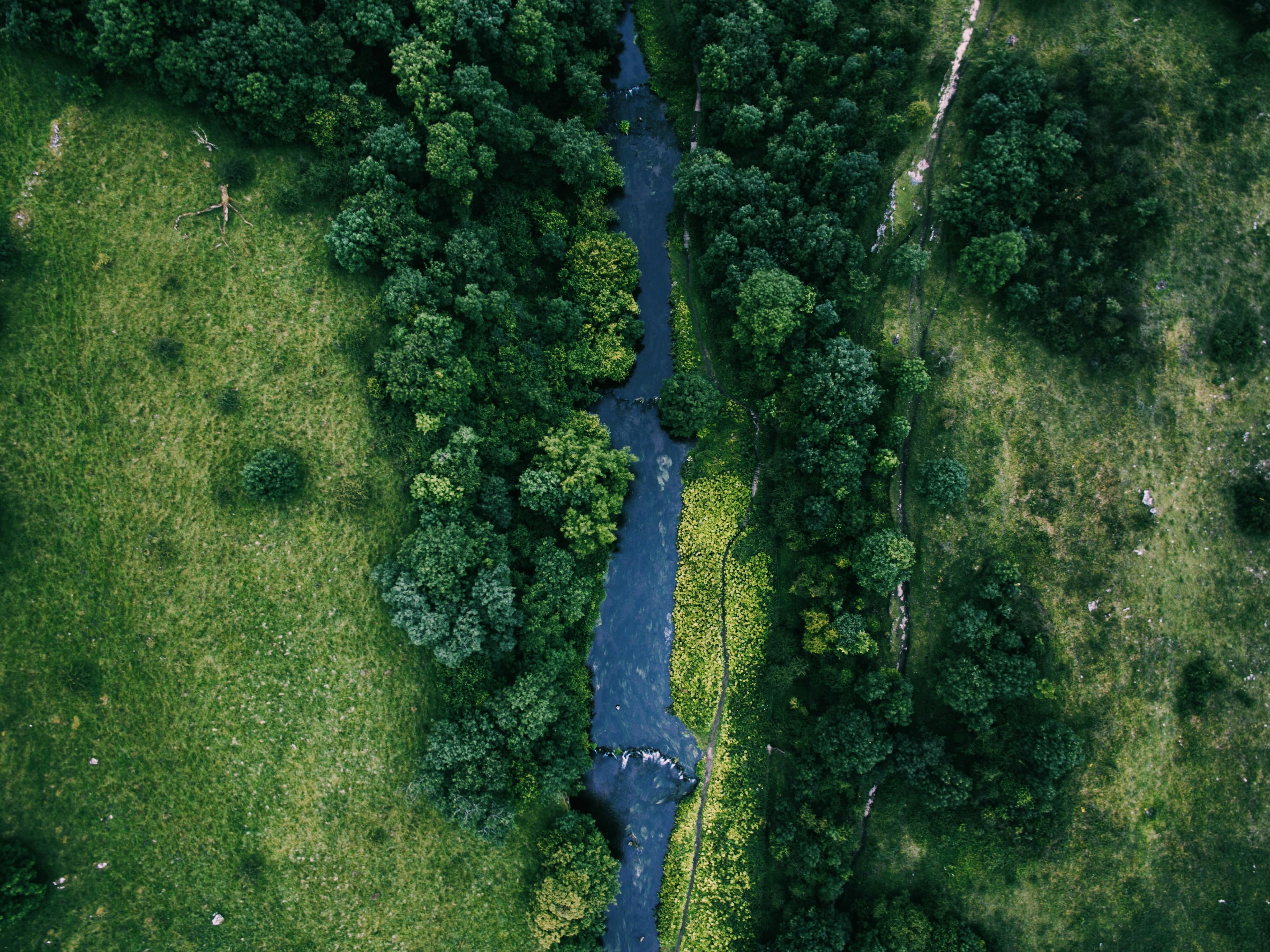
Investing in nature, securing our water future with Severn Trent Water - webinar recording and Q&A
Watch our webinar with Severn Trent Water here.
We hosted a webinar with Severn Trent Water on investing in nature, securing our water future.
Over the last two years, we have been collaborating with Severn Trent Water to analyse how nature-based solutions can mitigate flood, reduce surface water flows into sewers and, most recently, improve surface- and groundwater resources in the Idle catchment. This work has demonstrated how a systematic, catchment-scale approach can maximise benefits across the catchment and support stakeholder engagement and co-investment in delivery – by providing quantitative impact analysis we are able to build better business cases and unlock private investment into strategic catchment-scale programmes.
Hear from our speakers on how we did this and what it means for Severn Trent Water's forward programme:
- Richard Smith - Strategic Planning Lead, Severn Trent Water
- Claire Burke – Head of Applied Sciences, Zora Ecosystems
- Usha Bhalla– Head of Governance, Risk and Compliance, Zora Ecosystems
If you’re interested in building the business case for nature-based solutions at scale, join us to see how a landscape-scale opportunity is being built, backed by cutting-edge science and tech.
Click HERE to access the shortened version of the recording.
Click HERE to access the full recording.
Questions & answers
We have responded to the questions received during the webinar below. If you didn't get a chance to ask your question, please email hello@zora.eco and we will be sure to answer directly.
How far back does the dataset go for your landcover map so that you can assess what the catchment looked like before human intervention?
We look at UKCEH’s land cover maps based on satellite data for high-level landscape analysis. This is available back to the 1990s. For understanding historic land cover and habitats, we mainly look at soils data. We have also developed maps using machine learning where historic records are incomplete or non-existent. For example, we partnered with the National Library of Scotland to create a new digital layer extracting all the woodland on the Ordnance Survey 1st edition maps, dating back to the 1840s.
Is the LNRS considered?
Yes, we draw on Local Nature Recovery Strategies to inform Biodiversity Net Gain (BNG) opportunity.
What hydrological and hydraulic modelling approaches are used in MOSAIC? Please be explicit about techniques applied.
We use hydraulic modelling exclusively for surface flows, specifically flood modelling. This allows us to look at specific rainfall events and map flood extent under current land use, and under NbS scenario land use. Our hydrological model has a full representation of the water cycle including surface and sub-surface elements. This enables us to look at groundwater and longer-term weather patterns which drive low flows and water resources challenges – and is uniquely able to model this impact of NbS on these. We expect to publish a journal paper on this model next year.
Have you found that when designing interventions for the catchments there are conflicts/trade offs between the best intervention for water resources v's flood risk?
Yes – there are always trade-offs on landscapes, and multiple stakeholders with different priorities on outcomes. For catchments like the Idle, where there are challenges with both flood risk and water resources, we were especially careful to design NbS programmes which would not negatively impact one outcome for the benefit of the other.
Is the defra BNG metric built into the tool?
Yes, the Defra metric and BNG calculator is built into MOSAIC.
Can I ask if it has weighting to avoid lowest hanging fruit being selected on higher potential areas
NbS interventions can deliver a range of desirable impacts and outcomes, but only where the land can support them. Our “unconstrained” opportunity models show where NbS could be implemented across a catchment based on the biophysical suitability of the land to an intervention – it answers the question, “Would this habitat survive and thrive here?” Our in-house models also allow us to map constraints such as costs, statutory designations, planning consents, or a focus on a specific impact. These can be applied to the opportunity maps to create a “constrained” suitability map. This allows us to balance where different interventions are possible, impactful and feasible and avoids apparent ‘low hanging fruit’ as the default option where it might not be the best solution.
You inferred a really interesting point about nature led LDP planning/ national land use framework and enterprise solutions. Could you expand on your engagement on this?
Planning and land use designations are an integral part of delivering NbS programmes, particularly where a project involves changing how land is used. We see a real opportunity for the planning system to proactively identify where NbS can deliver the most benefit, so projects in those areas have a clear route to implementation. That’s why we’re following the development of the Land Use Framework in England closely. We responded to Defra’s consultation last year, drawing on our work in the Idle catchment. There we saw first-hand how decisions about flood risk, water quality, farming and nature recovery overlap across boundaries that don’t always line up neatly with local planning areas.
The Scottish system is evolving, with LDPs expected to take a more nature-positive approach, and in England Local Nature Recovery Strategies are starting to shape where nature recovery is prioritised. Our role is to help bridge the gap between these strategic frameworks and on-the-ground delivery. We identify and evidence where NbS will be most effective and engage early with planners and landowners so constraints are understood from the outset.
As you have identified, landowners and farmers are key to delivering interventions on the ground. How are you engaging with and then coordinating interventions across adjoining landholdings?
We try to work through a farmer cluster wherever possible, but engage with landowners early to better understand their on ground knowledge, what enterprises and operations they have, what appetite they may for habitat creation projects and where they might wish to prioiritise these. We use it as an opportunity to let them see their land through our lens and where in particular areas might be prioritised for a host of reasons. We are then able to help landowners in whatever capacity they might need to deliver the projects on the ground, from tailored support to full project delivery.
Is this your analysis only in the watershed in the UK or also in the EU?
Our analysis to date has focused on UK catchments, where we have the deepest data and regulatory context (AMP8, WINEP and Ofwat). We plan to expand into the EU and other geographies over the next 12-18 months. Zora's decision intelligence platform is built to be tailored to local markets, so it can be adapted to each region's data, regulation and finance landscape. If you're interested in a specific EU country or river basin, we'd welcome a conversation with you to understand how we can support your requirements.
Get in touch
Drop us a message at hello@zora.eco if you have any other questions!
We will also be growing our water team in 2027 and are always keen to hear from curious, talented people who are interested in what we’re building.
If you’d like to find out more about future roles or simply have a conversation about opportunities at Zora, please get in touch with me at natalie@zora.eco.
We’d love to hear from you!